FOR IMMEDIATE RELEASE: June 4, 2026
CONTACT: press@earth-insight.org
New Report Warns of Threats to World’s Ocean as Fossil Fuel Expansion Surges Into Most Vulnerable Marine Habitats and Coastal Communities
Ahead of Our Ocean Conference in Kenya, Geospatial Analysis Across Eleven Countries Finds Oil and Gas Expansion Threatens Coral Reefs, Whale Habitat, Fishing Grounds, and More
A new report released today by Earth Insight in partnership with twelve civil society organizations from around the world reveals that a new wave of offshore oil, gas, and LNG expansion is advancing directly into some of the planet's most ecologically critical and legally protected marine regions. Fossil Fuel Threats to the Ocean: Marine Life and Coastal Communities at Risk draws on geospatial analysis across eleven case studies – spanning Kenya, Tanzania, Cameroon, Norway, Alaska, Jamaica, Trinidad and Tobago, Argentina, Mexico, Indonesia, and Australia – to document how planned and active fossil fuel infrastructure overlaps with Protected Areas, Key Biodiversity Areas, Important Marine Mammal Areas, and Ecological or Biologically Significant Areas that include coral reefs, whale migration corridors, and the fishing grounds that coastal and Indigenous communities have depended on for generations. The downloadable maps of each country can be seen here.
The report is being released ahead of World Oceans Day (June 8) and the Our Ocean Conference, the premier global forum on ocean protection, which convenes in Mombasa, Kenya, June 16-18, 2026. – While Kenya's leadership is evident in hosting this international conference, its own government prepares to open up to fifty new oil and gas blocks to investors, up to seventeen of them offshore in the ecologically sensitive Lamu Basin.
"Right now, Kenya is preparing to open ecologically sensitive areas for fossil fuel exploration at the very moment it is hosting a global conference on ocean protection,” said Muturi wa Kamau, from the Kenya Oil and Gas Working Group. The question is: at what cost are we willing to risk these fragile ecosystems and the livelihoods of coastal communities who have depended on them for generations?"
Key Findings from the report:
- Globally across all eleven case studies: 27% of marine and coastal Protected Areas, 38% of coral reefs, and 18% of seagrasses in the case studies fall within oil and gas risk zones, and 29% of mangroves, 50% of all Important Marine Mammal Areas (IMMAs), and 39% of all Ecologically or Biologically Significant Marine Areas (EBSAs) are directly overlapped by oil and gas blocks.
- Kenya: 100% of coral reefs, mangroves, Marine and Coastal Protected Areas, and Key Biodiversity Areas along the coast are directly overlapped by proposed oil and gas blocks, as are virtually all Ecologically or Biologically Significant Marine Areas in the region.
- Oil and gas blocks across the eleven case studies cover over 430,200 square kilometers, with predicted LNG tanker routes overlapping the habitats of 41 unique IMMA species and 3 EBSAs.
- In Mexico's Gulf of California, predicted tanker routes for proposed LNG export facilities overlap 36 unique IMMA species habitats, including the critically endangered vaquita – the world's most endangered marine mammal – in a region that accounts for over 70% of Mexico's annual national fish catch.
- In Indonesia's West and Southwest Papua, new offshore blocks overlap mangrove-rich regions within the Coral Triangle — the world's most biodiverse marine region — with 96% of IMMAs and 15% of Marine and Coastal Protected Areas falling within oil and gas risk zones.
- In Australia's Otway Basin, the 2025 offshore acreage release places 46% of marine and coastal Protected Areas and 67% of Important Marine Mammal Areas within oil and gas risk zones, threatening critical feeding and migration habitat for the pygmy blue whale, which travels thousands of kilometers from Indonesian waters, as well as seabirds, Australian sea lions, and long-lived species like the conservation-dependent orange roughy.
- In Norway's Barents Sea, new blocks overlap approximately 59% of the North Atlantic Humpback Whale Migratory Corridor IMMA and 40% of the Particularly Valuable and Vulnerable Areas, threatening Arctic marine ecosystems with the risks of seismic blasting, vessel traffic, and oil spills in sea-ice conditions where clean-up is highly uncertain.
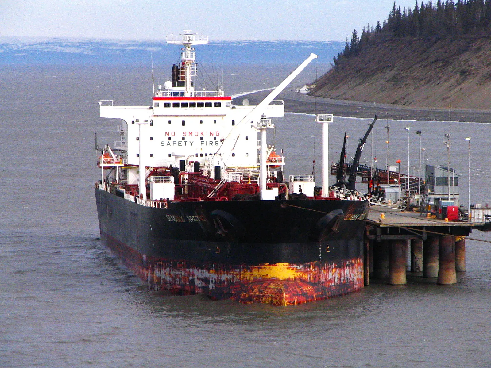
- In Alaska's Cook Inlet, the proposed Alaska LNG pipeline and predicted tanker routes cross the habitat of the critically endangered Cook Inlet beluga whale and three Key Biodiversity Areas. Export operations could increase large-vessel traffic in Cook Inlet by 40–70%, adding underwater noise, collision risk, and cumulative stress to an already heavily impacted ecosystem.
- In Jamaica's south coast, 99% of coral reefs and 97% of seagrass areas fall within oil and gas risk zones tied to the Walton-Morant block, threatening fishing communities at Portland Bight and the Pedro Bank, the country's primary national fishing ground.
- In Argentina's Gulf of San Matías, planned LNG infrastructure would channel tanker traffic through waters used by approximately 2,000 southern right whales during calving season, threatening both the whales and the artisanal fishing and tourism economies that depend on a healthy Patagonian marine ecosystem.
The report urges governments, financial institutions, and international bodies to:
- Stop granting new licences, permits, and approvals for offshore and coastal oil, gas, and LNG projects in or near protected areas, Key Biodiversity Areas, IMMAs, EBSAs, coral reefs, mangroves, and seagrass meadows;
- Establish legally binding Fossil Free Zones in areas of high ecological, cultural, and community importance;
- Align ocean protection with the 30x30 commitment to protect 30% of marine areas by 2030, and ensure that designation is backed by real restrictions on fossil fuel activity;
- Require free, prior, and informed consent of Indigenous peoples and affected communities before any licensing or permitting proceeds; and
- End public and private finance for new offshore oil, gas, and LNG expansion.
“It is alarming to see the research findings and the sheer scale of fossil fuel expansion trajectories threatening the health and future of our shared ocean,” said Tyson Miller, Executive Director of Earth Insight. “Country commitments to protect 30% of the ocean by 2030 represent a unique opportunity to restrict fossil fuel blocks and concessions in order to uphold the integrity of existing and future Marine Protected Areas, whale and marine mammal corridors, and the health of coral reefs, seagrasses, and mangroves, and the communities who depend on them.”
This report builds on previous Earth Insight research, including Ocean Frontiers at Risk: Fossil Fuel Expansion Threats to Biodiversity Hotspots and Climate Stability, which found that oil and gas blocks cover over 2.7 million square kilometers in the case study frontier regions; and Coral Triangle at Risk: Fossil Fuel Threats and Impacts, which found 16% of this biodiversity hot spot’s 600 Marine Protected Areas overlap with oil and gas blocks.
# # #
The report was prepared by Earth Insight in partnership with: Ajemalebu Self Help (AJESH) (Cameroon), Auriga Nusantara (Indonesia), Climate Tracker Caribbean (Trinidad and Tobago), Cook Inletkeeper (Alaska), Defensa Ambiental del Noroeste (DAN) and Nuestro Futuro (Mexico), Foundation for Environmental Management and Campaign Against Poverty (FEMAPO) (Tanzania), Fundación Ambiente y Recursos Naturales (FARN) (Argentina), Fossil Free Wider Caribbean Network (Caribbean), Jamaica Environment Trust (Jamaica), Kenya Oil and Gas Working Group (KOGWG) (Kenya), Nuestro Futuro (Mexico), and WWF Norway (Norway).
Earth Insight is a nonprofit organization that combines geospatial analysis, data science, and community knowledge to reveal threats and solutions to the world's most critical ecosystems and the peoples who protect them.